BIM implementation for JV "KATKO"
Brief information:
- Project: BIM implementation
- Customer: JV "KATKO"
- Scope of work: Training in Plant 3D, Navisworks, and Civil 3D, configuration of the BIM 360 environment, and development of custom plugins.
BIM implementation for JV "KATKO"
Project description:
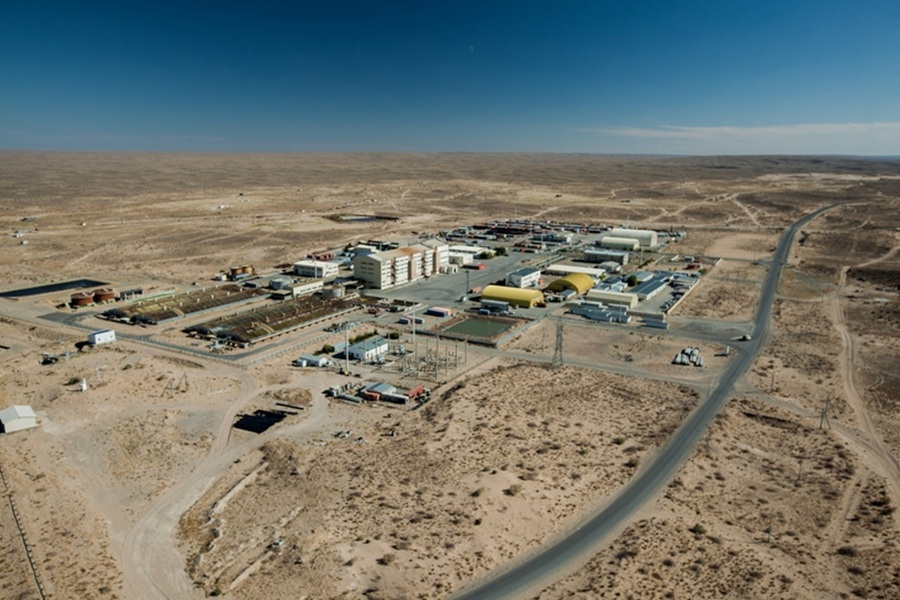
The project was implemented for the joint venture “KATKO” and focused on introducing BIM technologies within the surveying and geodesy department, as well as on improving the accuracy and visualization of spatial data.
Scope of work:
As part of the project, specialists were trained to work with Plant 3D, Navisworks, and Civil 3D, taking into account surveying, geodesy, and infrastructure planning tasks. The training was oriented toward the practical application of these tools in the company’s operational projects.
To centralize data storage and exchange, the BIM 360 environment was configured, enabling the creation of a unified information space and improving collaboration between departments.
Special attention was given to customizing Civil 3D for geodata analysis, terrain modeling, and infrastructure planning. Additionally, plugins were developed for processing topographic surveys and visualizing quarries in Navisworks.
As a result, the company obtained more accurate geospatial models and enhanced planning efficiency through digitalization and process automation.
Projects


